Geographical centre of Luxembourg in Mersch, Luxembourg
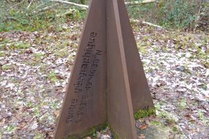
The Pëttenerbësch (literally "Pettingen Forest" in Luxembourgish) is a nature reserve located half an hour's drive north of Luxembourg City. At first sight, there is nothing special about this forest (apart from the fact that it is in the middle of the A7 motorway). In 2009, the land registry and topography department was in charge of the determination of the geographical centre of the Grand Duchy. It takes into account the various historical treaties that have defined the borders between the years 1659 and 1839. It also takes into account land swaps, the most recent of which occurre
This story was reported by Atlas Obscura - Latest Articles and Places. EUROPES curates Europe's most relevant coverage — read the full report at the original source.
Read full coverage at Atlas Obscura - Latest Articles and Places →